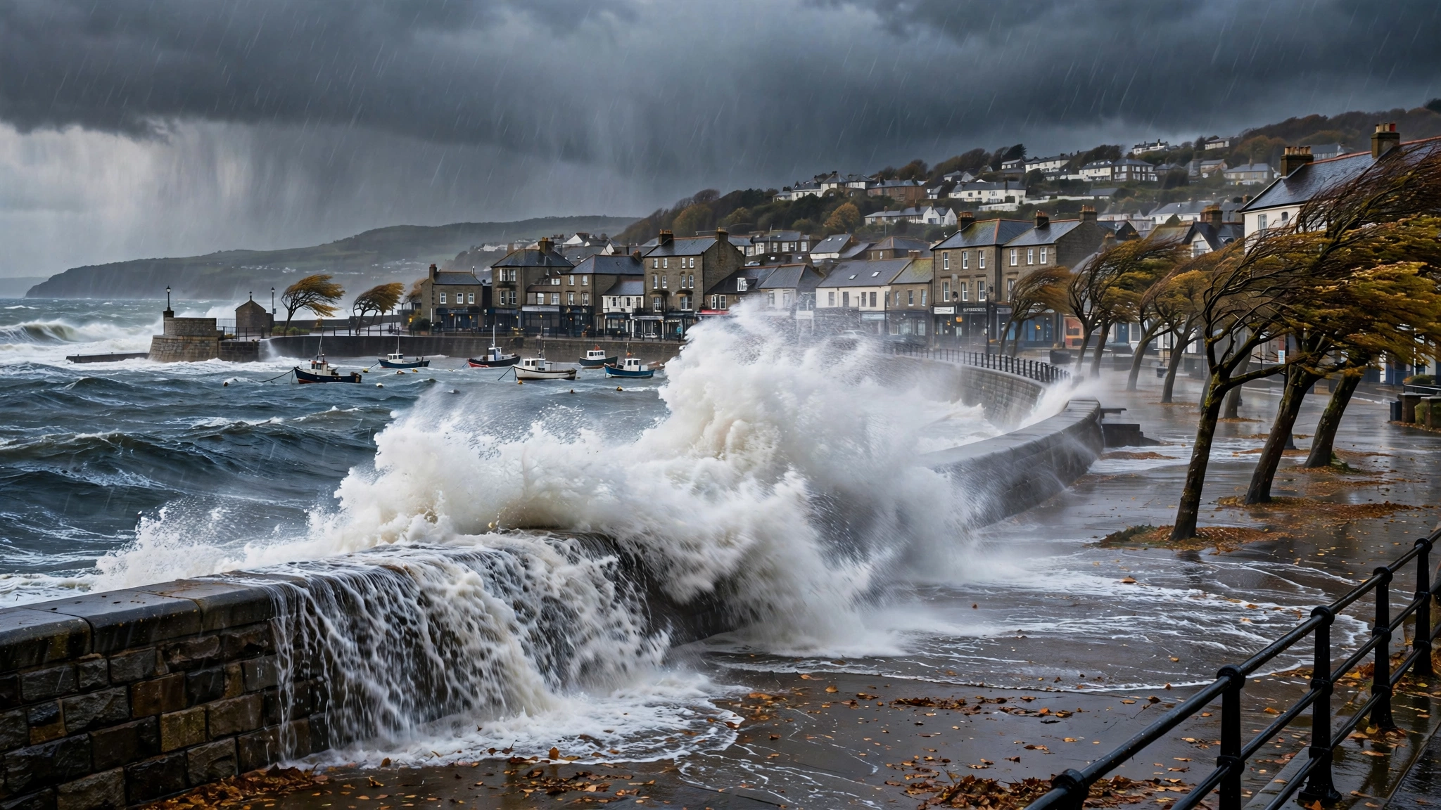
The umbrellas are barely dry, the garden furniture is rattling again, and the conversation at every bus stop in Britain has turned to the same subject: the weather. Storm season has arrived, and forecasters say the unsettled spell that has soaked much of the country in recent weeks is set to continue, with further wind and rain sweeping in from the Atlantic through the autumn.
For most people it means little more than cancelled football matches, soggy commutes and a lawn that refuses to stop growing. But for communities in the places that flood year after year, for farmers watching fields turn to lakes, and for anyone whose job takes them out on the roads, another stormy season is a more serious matter. Understanding how warnings work — and what to do before the weather arrives — can make the difference between an inconvenience and a genuinely bad day.
Why Storms Have Names
The naming of storms is not a bit of theatre. The practice was introduced so that a single, memorable name could be used consistently across forecasts and news bulletins, making it far more likely that people would notice a warning and take it seriously. A storm earns its name when it is expected to have a medium or high impact — in other words, when the wind, rain or snow is likely to cause real disruption.
The names are chosen from a list agreed in advance, drawn up with neighbouring weather services in Ireland and the Netherlands, because weather does not respect borders — a storm that batters Galway on Monday is often over Glasgow by Tuesday. If a storm arrives from further afield — a leftover hurricane that has crossed the Atlantic, for example — it keeps the name it was first given.
Yellow, Amber and Red: What the Warnings Actually Mean
Weather warnings in the UK come in three colours, and the colour is only half the story. Each warning combines two judgements: how likely the bad weather is, and how much impact it is expected to have.
A yellow warning is the most common. It means severe weather is possible and some disruption is likely — delays to travel, localised flooding, perhaps power cuts in exposed places. It is a prompt to check the forecast before you travel and to keep an eye on how things develop.
An amber warning raises the stakes. It signals an increased risk of significant impacts: flooding of homes and businesses becomes more likely, travel disruption more widespread, and there is a greater chance of damage to buildings and power supplies. People in the warning area are expected to change their plans if they reasonably can.
A red warning is rare, and it means what it sounds like. Dangerous weather is expected, and there is a risk to life. The advice at that point is blunt: avoid travel, stay indoors, and follow the instructions of the emergency services.
The important point is that a warning covers a wide area but the impacts can be intensely local. One town can escape with a wet pavement while the next valley is under water. Checking the detail for your own postcode matters far more than the headline colour for the whole region.
Where the Flood Risk Falls
Britain's flood map is, by now, grimly familiar. Low-lying coastal communities face the risk of tidal surges and overtopped sea defences when storms coincide with high tides. River valleys that have flooded repeatedly — stretches of the Severn, the Wye, the Calder and many others — remain vulnerable whenever rain falls faster than saturated ground can absorb it. And in towns and cities, sudden downpours on tarmac and concrete can overwhelm drains in minutes.
After a wet spell, the risk compounds: once the ground is saturated and rivers are already high, even moderate rainfall can tip a catchment into flooding. That is why the Environment Agency and its counterparts in Scotland and Wales urge people to sign up for free flood warnings for their area, and why warnings issued after days of rain deserve extra respect.
What Households Can Do Before a Storm
Most storm preparation takes an hour, costs nothing, and is best done on a calm day rather than when the wind is already rising:
- Bring in or secure anything in the garden that could move — trampolines are notorious escape artists, but bins, ladders and fence panels all cause damage when they take flight.
- Clear gutters and check that downpipes are not blocked. Water that cannot get away will find another route, and it is rarely a convenient one.
- Charge phones and keep a torch somewhere you can find it in the dark. Power cuts are among the most common storm impacts, and the national power cut number, 105, is worth saving in your phone.
- If you live somewhere that floods, move valuables, documents and electrical items upstairs or onto high shelves, and know where your stopcock and fuse box are.
- Check on neighbours, especially anyone elderly or living alone, before and after the worst of it.
Travel: Expect Disruption, Plan Around It
Storms and transport do not mix. Strong winds bring speed restrictions on exposed rail lines and the closure of major bridges to high-sided vehicles. Fallen trees remain one of the biggest causes of blocked lines and closed roads every autumn. Heavy rain floods underpasses and low-lying stretches of road.
The practical advice is worth repeating: check your journey before you set off, allow far more time than usual, and never — under any circumstances — drive through flood water. A surprisingly shallow depth of fast-moving water can stall a car or sweep it off the road, and a large share of flood-related deaths happen in vehicles.
Why Autumn Weather Feels More Extreme
Anyone who has lived through a few decades of British autumns will tell you the season feels different now: the downpours heavier, the mild spells longer, the storms that do arrive carrying more rain with them. The broad scientific picture supports that impression in general terms. A warmer atmosphere holds more moisture, so when rain comes, it can fall harder. Warmer seas around the UK feed more energy and moisture into approaching weather systems. And the pattern of the jet stream influences whether storms queue up one after another or pass through quickly.
Forecasters are careful to point out that a single storm, or a single wet month, proves nothing on its own; Britain has always had violent autumn weather. What has changed is the background: the baseline is warmer and wetter, so familiar extremes now sit on top of a higher starting point.
What Happens Next
The unsettled pattern is expected to remain in charge for the weeks ahead, with further Atlantic systems queuing up to cross the country. Not every one will earn a name or a warning, and there will be brighter, calmer gaps between them. But the advice is consistent: keep an eye on the forecast, take local warnings seriously, and do the small jobs — the gutters, the garden furniture, the torch by the door — while the sun is still, occasionally, shining.